Brief history of New Walk
Introduction
From the site of Welford Place a right turn set the Roman Legionaries off on a long march towards Godmanchester and Colchester. Centuries later the muddy track through the South Fields (then 600 acres of open land on the south of the city) became the boundary of the two great medieval parishes of St Mary and St Margaret: there is a Victorian cast-iron boundary marker on The Oval and another at the northern end of Evington Footpath.
In the 18th century the Corporation cast its jealous eye on the South Fields, then in the hands of the borough freemen. As a way of establishing a claim on the South Fields, in 1785 the Corporation laid out Queen’s Walk, later renamed New Walk. It was a twenty feet wide gravel promenade from Belvoir Street to the racecourse on the site of Victoria Park.

The claim succeeded in 1804, but it took until 1811 to work out the legal details when the Corporation was granted an award for the South Fields, enabling Leicester to expand in a way that avoided the worst of the overcrowded conditions prevalent in many other 19th century towns.
By then though, New Walk was well established. The remarkable Leicester writer and humanitarian campaigner Susanna Watts describes the sinuous uphill line of the Walk in her 1804 guidebook A Walk Through Leicester. Miss Watts invites visitors to enjoy the vista from the steps of the windmill by the London toll gate at the top of the hill and she imagines views of the Royalist army camped in the meadows around Aylestone at the siege of Leicester in 1645.
Building on New Walk began in 1817, two years after the Battle of Waterloo, when the Dominican Friars commenced building Holy Cross Priory, facing Wellington Street but end on to New Walk. The Corporation soon adopted design rules requiring buildings to be set back from New Walk, behind front gardens enclosed by walls and railings. In this way New Walk achieved an overall consistency, even though plots were sold and developed piecemeal.


That regularity was reinforced by the use of classical building styles for most of the length of the Walk. Some of the earliest houses were built about 1828 near to the northern end and building progressed steadily through the 19th century. Development culminated in the contrasting group of houses of the 1890s in Upper New Walk with their big chimneys, gables and turrets. The view at the southern end of the Walk is filled by Sir Edwin Lutyen’s lodge to Victoria Park, built in 1935 as one of a remarkable group of civic buildings, by perhaps Britain’s greatest 20th century architect.
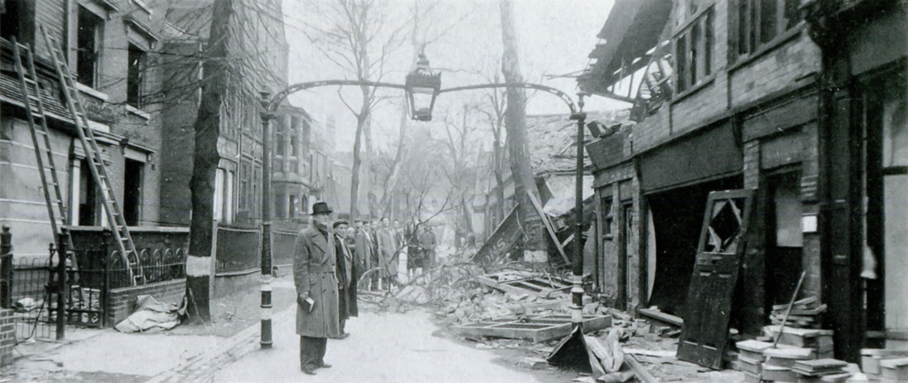
Bigger landmark buildings draw the walker’s eye along the line of New Walk. Holy Cross Priory was extended a number of times and only completed in 1958. The Museum (renamed New Walk Museum and Art Gallery) was built in 1836 as a nonconformist school and became the town’s museum in 1849. St Stephen’s Church has perhaps the strangest history. It was built originally on London Road and moved to New Walk in the 1890s to make way for the expansion of the railway station. The 20th century brought additions to the buildings of New Walk in a variety of styles; a process which still continues.
As building proceeded spaces were reserved for small parks along the length of New Walk. Museum Square first appears on a map in 1844 and De Montfort Square followed soon after. The Oval was laid out 1866, formed by eliminating a kink in the historic line of the promenade.
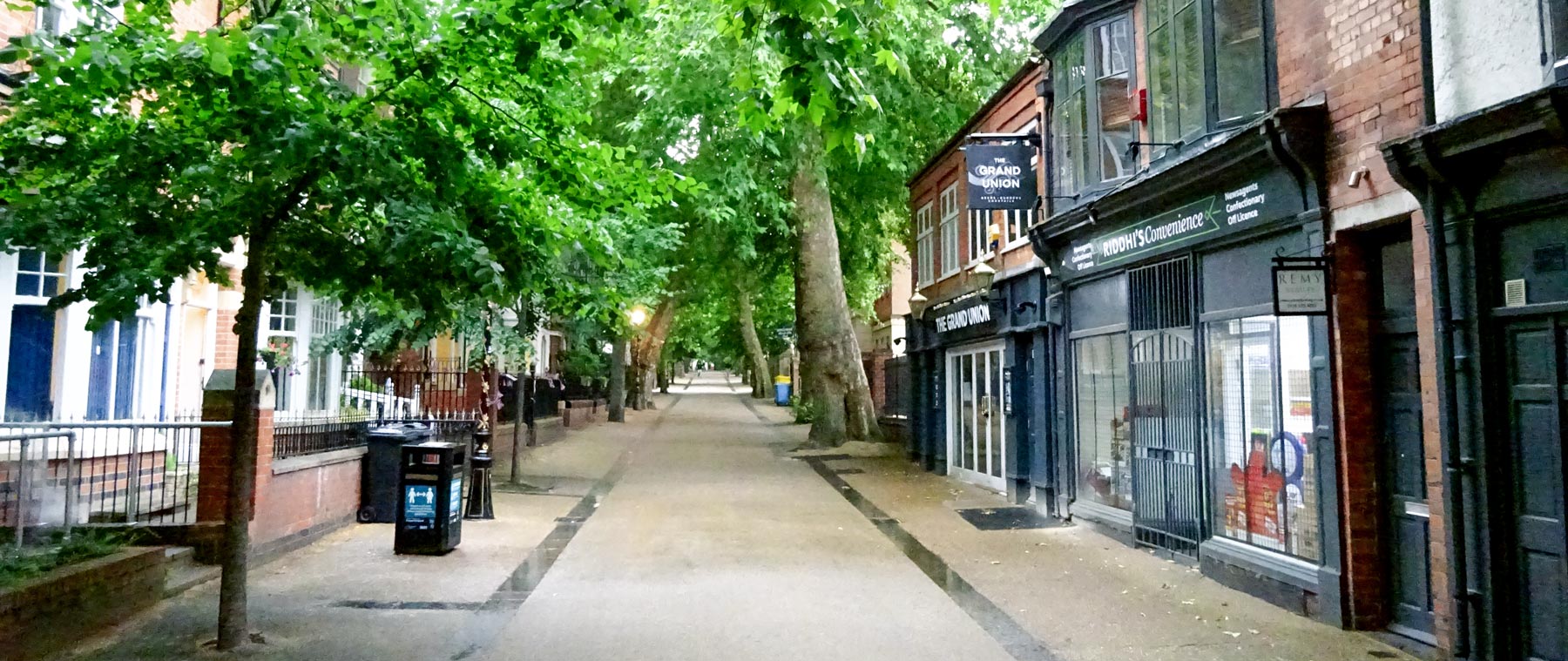
From the beginning trees have formed an integral part of New Walk and are integral to its character, forming a green thread running through a now heavily built-up area.

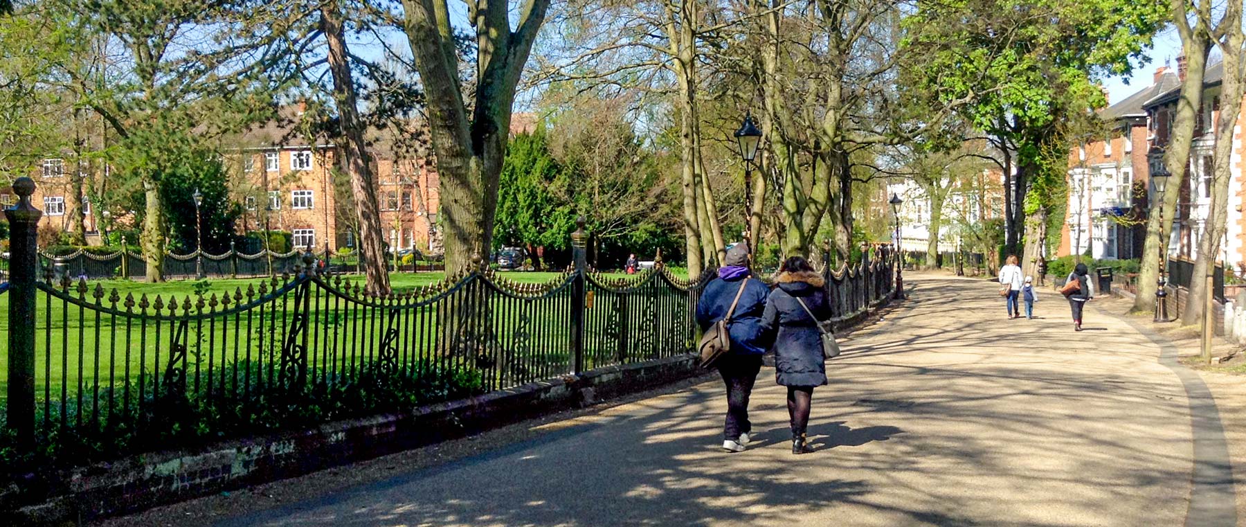
Since the 1990s restoration schemes, funded by public bodies and property owners, have involved the re-building of long runs of boundary walls and railings, provision of a full sequence of the distinctive French lamp columns (introduced to Leicester in the late 19th century), the laying of a bound-gravel surface and a management plan for trees. More than two centuries since it was laid out, New Walk remains traffic free. As a pleasant, safe and beautiful route into the city centre it is more important than ever.
For more detailed information see:
The History of New Walk by Helen E. Boynton. ISBN-13: 978-0954632038.
The Corporation of Leicester 1689–1836 by R.W. Greaves.
New Walk in the 19th Century by Graham Potts. Available to read free online.
Radical Leicester by A. Temple Patterson. ISBN-13: 978-0718510039.
